John K. Hall
John K. Hall ’58 has vivid memories from his Academy days: the prep beanie, for one. Hoyt Hall. Bicycling to Hampton Beach. And the dress code. “After Exeter,” he jokes, “I didn’t ever want to wear a necktie again.”
This sartorial intransigence, along with scientific aptitude and an explorer’s curiosity, ultimately led to a five-decade career mapping the ocean’s depths.
“It’s ludicrous that we know far more about the surface of the moon and Mars than we know about the seafloor,” he says. Oceans cover 71 percent of our planet and wash up against 150 countries. Yet only 17 percent of the seafloor has been mapped.
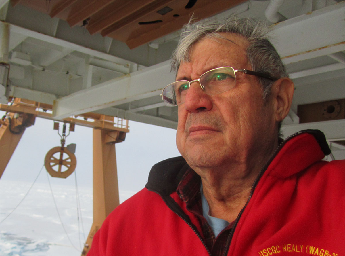
Currently, Hall is working up to 13 hours a day on Nippon-GEBCO Seabed 2030, an international effort to map the remaining uncharted ocean floor. He has no desire for a firsthand deep-sea dive; TV nature films will suffice. Instead, he’s digitizing roughly 700 maps in his 430-square-foot, scanner-filled garage office, “accompanied by a ‘discontinued’ street cat named Kartzi (‘Tick’ in Hebrew, because she attached herself to us years ago),” he says.
With their colors and swirls, Hall’s maps evoke abstract art. His latest, “British Chart 722,” features yellow Seychelles landmasses floating in a white-and-blue Indian Ocean, veined with green contour lines and mottled by thousands of black dots — digitized by Hall at about 10 per minute — representing depth-sounding values.
Hall is driven by intellectual curiosity and by his mother’s maxim: “Be useful.” Mapping underwater topography is “critical to understanding mankind’s environment on the planet’s surface,” he says. Mapping can help us decode Earth’s past and forecast areas prone to tectonic damage in the future, since seafloor-sediment buildup causes tsunami-generating slides. He cites the 68-foot seafloor shift underlying Japan’s 2011 tsunami and numerous Indonesian-island slides.
If not for a serendipitous undergraduate encounter, Hall’s explorations might have remained above ground. Late during his senior year at Rensselaer Polytechnic Institute, where he was studying geophysics, he happened to hear a lecture on seismic profiling by a Woods Hole Oceanographic Institution scientist. Intrigued, he joined WHOI that summer and stayed for three years. “I’d found what I wanted to do, thank God,” he says.
In 1964, Hall began graduate work at Columbia’s Lamont Geological Observatory. His studies entailed three seasons in a U.S. Navy research station on Fletcher’s Ice Island, or “T-3,” an iceberg drifting over the Arctic Ocean. There, using largely home-built equipment and handcrafted computer programs, he produced samples and data from the western Arctic’s Amerasian Basin.
After completing his thesis in 1970 on the Arctic’s Alpha-Mendeleev Ridge, Hall and his Israeli physicist wife, Dr. Chava Fischler, headed to Israel, where he joined the Marine Geology Division of the Geological Survey of Israel (GSI) as the country’s first marine geophysicist.
At GSI, Hall founded the National Bathymetric Survey and compiled local and regional bathymetric sea maps. Using pioneering computer-gridding techniques, he created a digital terrain model map of Israel and its above- and below-water environs. In 2020, he received the Medallion of the Israel Geological Society for his life’s contributions.
In 2006, he retired … somewhat. Rather than stop working altogether, he co-founded Hebrew University of Jerusalem’s Neev Center for Geoinfomatics, where the next generation of students can access geophysical instruments for seismic data collection, photogrammetry and other projects. Even now, he enjoys mentoring his “Neevers.”
Not only is Hall decoding Earth’s submarine floor, he’s developing ways to explore the planet’s more inaccessible surfaces. In 2007, he designed and funded construction of R/H Sabvabaa, a research hovercraft in Norway. Unlike typical marine-research colossi, Sabvabaa is small and nimble. It recently completed a 50-week geophysical drift across the highest Arctic.
The craft is innovative, educative and resilient — like Hall himself.
— Juliet Eastland ‘86
Editor’s note: This article first appeared in the spring 2020 issue of The Exeter Bulletin.


